
A medieval map mystery may finally be solved
“We’ll just have to think our way back, step by step.” That’s what the Dutch geodesist Roelof Nicolai said in 2014 in a Strange Maps article . Nicolai had just spent his PhD years discovering that portolan charts — those gorgeous, wind-rose-covered coastline maps that suddenly appeared in Mediterranean ports in the second half of the 13th century — were geometrically too accurate to have been…
Read original article on Big Think →Related news
-
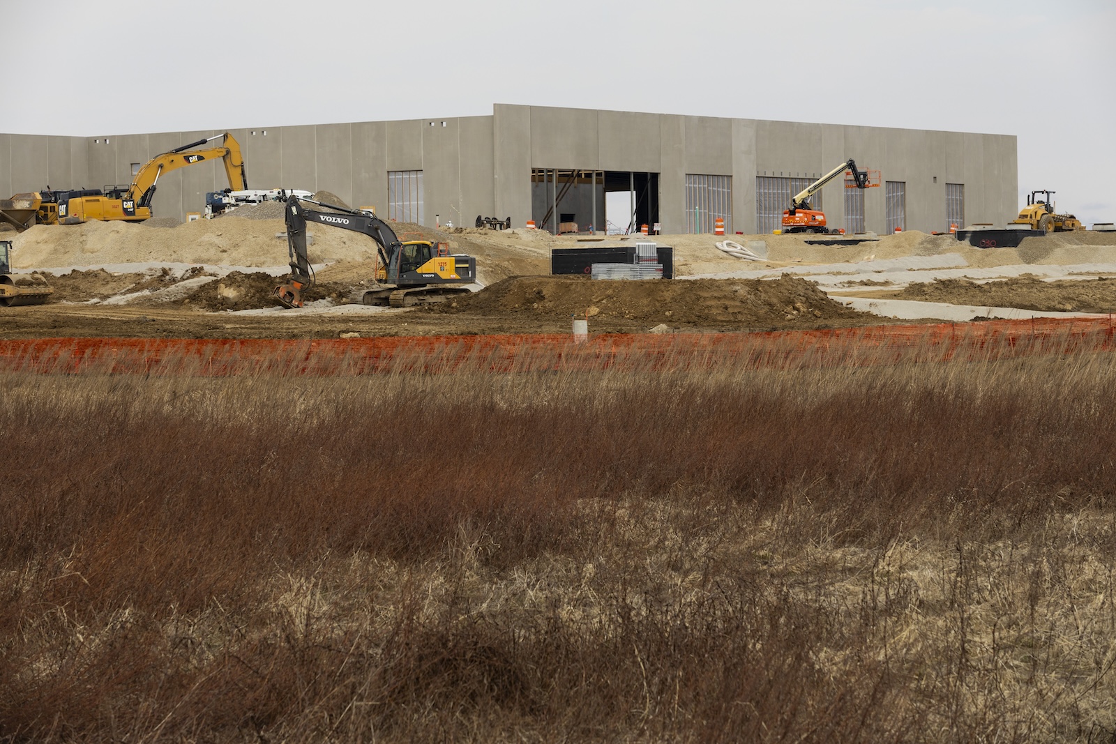 How the midterms could unleash a new era for clean energy in these 3 states
United States
-
 Piece Together the Perfect Pandora Holiday Gift for Her
United States
-
 This Dumbbell-Only Workout Torches Your Shoulders in Around 20 Minutes
United States
-
 Gourmia Recalls Over 175,000 Air Fryer Ovens Sold at Target After 40 Reported Burn Injuries
United States
-
 Steve Buscemi's Secret to Stealing a Scene
United States
Original: Steve Buscemi’s Secret to Stealing a Scene
-
 How to Use the Deficit Deadlift to Produce More Power on Your Pulls
United States
-
 Our Prehistoric Ancestors Were Built for Endurance. In Today's Increasingly Sedentary World, Could You Outrun Them?
United States
Original: Our Prehistoric Ancestors Were Built for Endurance. In Today’s Increasingly Sedentary World, Could You Outrun Them?
-
 How Big of a Calorie Deficit Do You Need to Achieve Body Recomp?
United States